Enjoy Winter Adventures

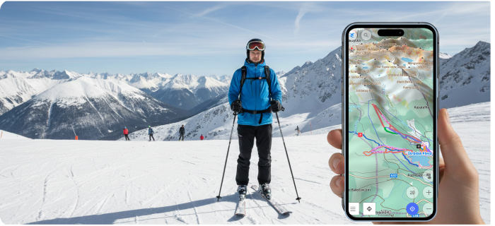
Ready to hit the slopes? OsmAnd’s Skiing profile makes winter navigation effortless, whether you're carving alpine runs, exploring backcountry trails, or riding lifts. Winter sports enthusiasts will love how detailed piste data brings the mountain to your fingertips.
Winter & Ski Map Style Highlights
The Winter and Ski map style highlights ski pistes, routes, and lifts with clear colors and symbols, making it easy to study any resort layout at a glance.
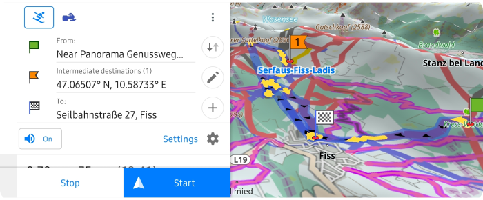
Tap any piste shield to open a context menu showing route characteristics, elevation profile.
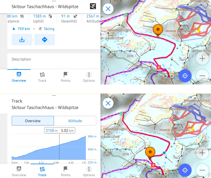
And even start navigation along that exact track (treated like a GPX file).
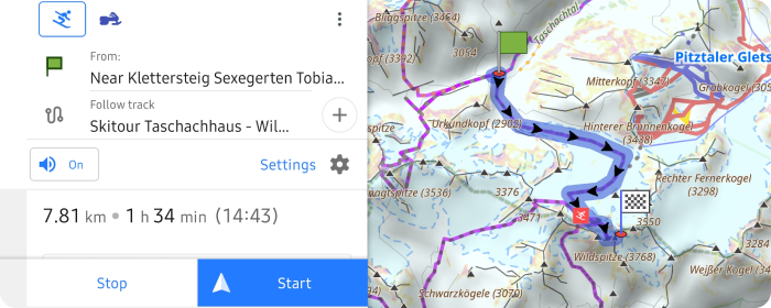
When setting start and finish points in the Skiing profile, OsmAnd builds intelligent routes using ski pistes, descents, and lifts—perfect for complex multi-stage trips.
Enhanced Slope Exploration
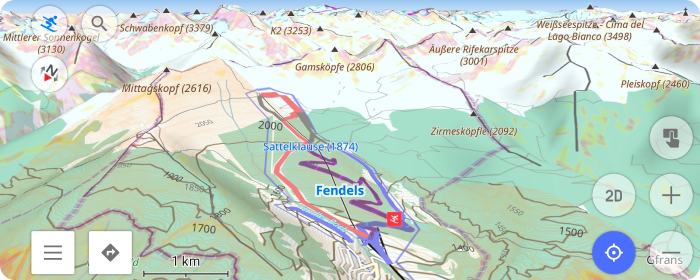
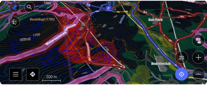
For better terrain reading, enable 3D relief alongside Avalanche coloring to visualize slope steepness and hazard zones clearly. Use the Ski map legend to decode piste difficulties and route types.
Some pistes show night lighting icons—enable Street lighting in Configure map → Details to see which slopes stay lit after dark.
Your Mountain Companion
From piste grooming status to backcountry routes outside resort boundaries, OsmAnd combines OpenStreetMap's rich winter data with skiing-optimized navigation. Switch to the Skiing profile (Menu → Configure profile) and discover why winter explorers trust OsmAnd on every run.
We appreciate your interest in us and thank you for taking the time to read this article. Join us on social media to keep up to date with the latest news and share your experiences. Your opinion is important to us.
Follow OsmAnd on Facebook, TikTok, X (Twitter), Reddit, and Instagram!
Join us at our groups of Telegram (OsmAnd News channel), (EN), (IT), (FR), (DE), (UA), (ES), (BR-PT), (PL), (AR), (TR).