Arranging Buttons and Layout for a Clear Map

· 8 min read
Tina
Technical writer

Think of a painting you really liked. You probably don't remember the frame, and that's the best thing you can say about a frame. It was there to hold the picture, and that's all.

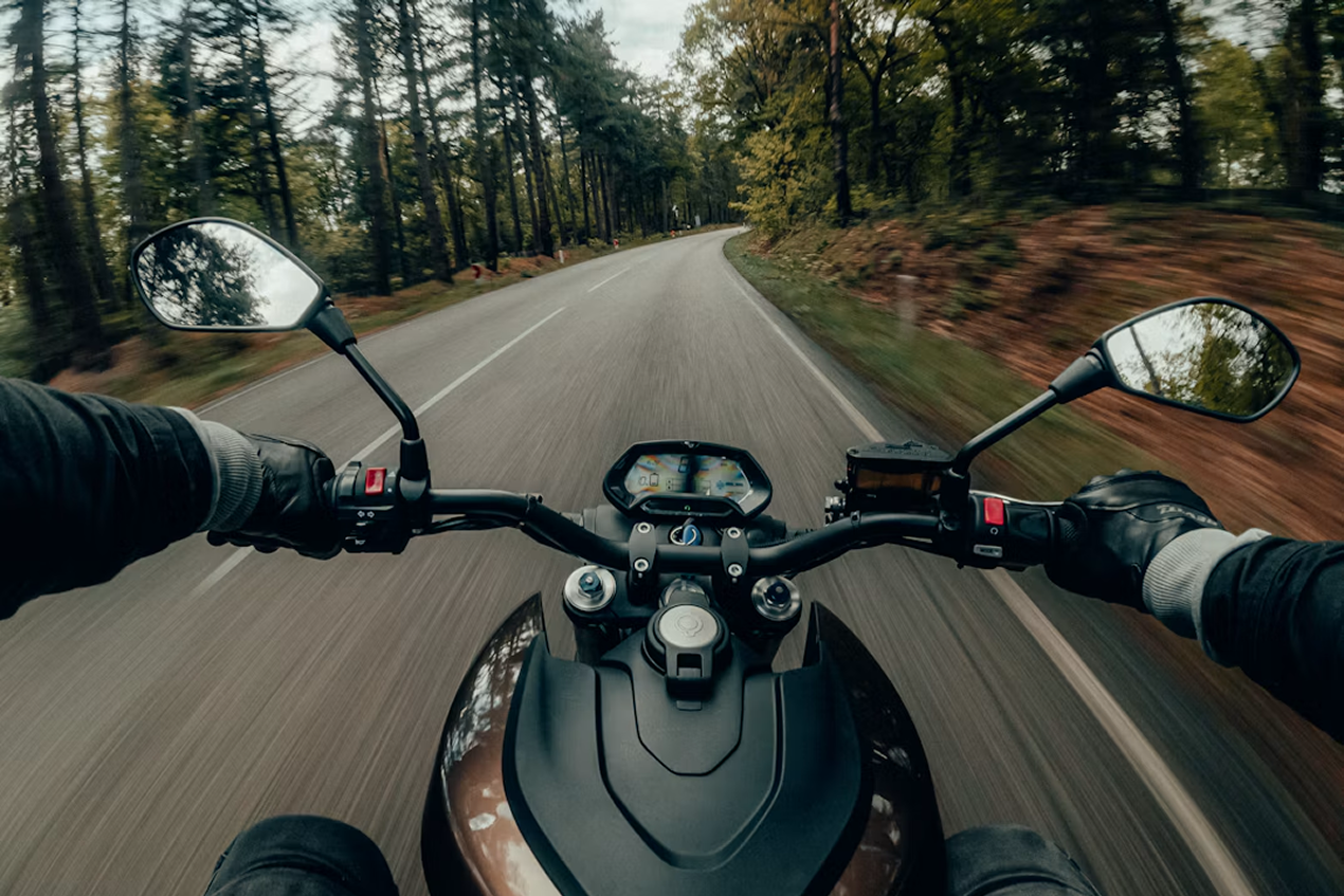
On the OsmAnd screen, the map is the picture. Buttons, widgets and the compass in the corner are the frame. With the phone in your hand on a city street, you hardly see them. Then one day the phone goes onto the handlebar of a motorcycle, sideways, you pull on your gloves, and now the frame is all you see. The zoom buttons sit right on the road you're about to take, the search button hides the next village, and pressing the right thing with a glove on is mostly luck.

The map didn't change. The frame just got too big for it. So let's make it smaller, quieter and easier to hit with gloves, and make sure it stays out of the way when the phone turns.
Motorcycle Ride

Organizing Your Tracks with Smart Folders

· 7 min read
Tina
Technical writer

A September morning in Vancouver. More than a thousand riders roll out of Stanley Park for the RBC GranFondo Whistler: 122 kilometres of the Sea to Sky Highway, closed to traffic, with Howe Sound on one side and the mountains on the other. Past Squamish, the road starts to climb and keeps climbing all the way to Whistler.

You cross the line near the top of the results, and everyone says the same thing: you were lucky. With the weather, the wind, the group.

You know better. That result is made of dark February mornings on the seawall, Sunday climbs up Cypress, and long rides to Squamish and back, all recorded in OsmAnd one track at a time. Let’s see what a season of training looks like once Smart Folders put it in order.

Cycling Whistler

Why Offline Search Is So Hard

· 8 min read

If you have ever typed an address into OsmAnd and got a street in another town — or nothing at all — you are not alone. Search has been the most common complaint we hear, and in our 2026 survey it came up again and again in every language. So this year we did not patch it once more. We built a new search engine from scratch, and it comes to everyone with OsmAnd 5.5. If you don't want to wait, it is already in our nightly builds.

The video above tells the whole story in 23 minutes. Below is the short version, with a few interactive demos so you can play with the same ideas the new engine uses.

Your North America Terrain Maps Can Look Much Sharper

· 4 min read
Tina
Technical writer

If you hike, ski, or drive in North America, your OsmAnd terrain may already be much sharper than you think. Since spring 2026, terrain maps and contour lines for the United States (including Alaska), Canada, and Mexico are built from high-resolution national elevation data. If you have not updated these maps since then, you are still looking at the old, smoother relief.

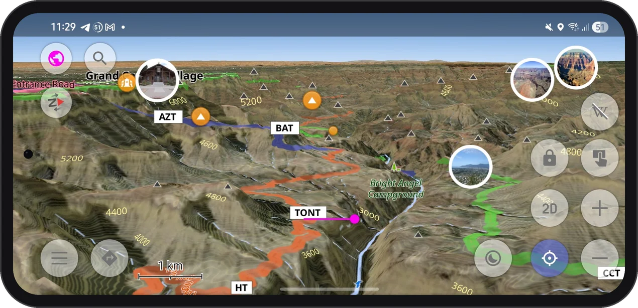
Grand Canyon in 3D

Working with Color Palettes for Tracks and Terrain

· 6 min read
Tina
Technical writer

You've ridden the Transfagarasan three times now, and the story you tell afterward never changes: good climb, brutal hairpins, freezing at the top. Same three sentences, every time, because that's genuinely all a memory holds onto.

Your phone remembers more. It was recording the whole ride — every meter of elevation, every km/h, the exact spot where you stopped pretending you weren't struggling. None of that shows up in a photo. It shows up in the track, if you know how to ask it the right question.

Curtea de Arges

OsmAnd 5.4 (Android)

· 16 min read
Eugene
Marketing lead

OsmAnd 5.4 for Android is now available on the Google Play Store. Please update to the latest version to enjoy the new features and improvements.

At this release, we focused on improving the search experience, making it easier to find places and discover objects around a specific location. We also added the ability to attach media files to Favorites and Waypoints, making them more informative and useful for your travels.

🔄 Update Now!

Thanks to all our users for their feedback and suggestions. Your input is invaluable in helping us improve OsmAnd and make it the best navigation app for Android.

OsmAnd 5.4 for Android

OsmAnd 5.4 (iOS)

· 13 min read
Eugene
Marketing lead

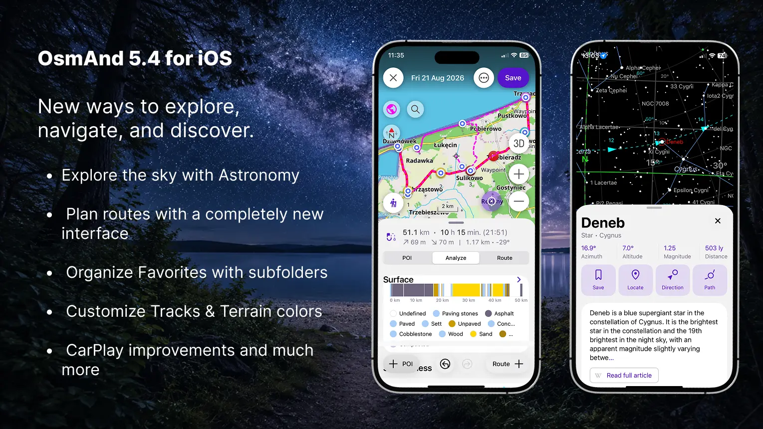
OsmAnd 5.4 for iOS — Now Available!

This update brings a redesigned My Places interface, a rebuilt Plan a Route tool, the new Astronomy plugin, and many other improvements and bug fixes.

🔄 Update Now

OsmAnd 5.4 for iOS

Eclipse Season — Solar and Lunar Events in OsmAnd Astronomy

· 6 min read
Tina
Technical writer

August comes with two alarms on the calendar. On August 12, a total solar eclipse sweeps from the Arctic across Greenland and Iceland, reaching northern Spain and the Balearic Islands just before sunset — the first total solar eclipse visible from mainland Europe since 1999. Sixteen days later, on August 28, a deep partial lunar eclipse covers 96% of the Moon's surface, making it nearly indistinguishable from a total eclipse for anyone watching from the Americas.

Two rare events in the same month. And both of them unusual in their own way. The solar eclipse arcs up and over the North Pole, which means its path runs north-to-south rather than the typical west-to-east sweep. In Spain, the Sun will sit only a few degrees above the horizon during totality — turning the eclipse into something closer to a golden-hour phenomenon than a midday event. The lunar eclipse, meanwhile, stops just short of totality: at its peak, a narrow bright sliver of the Moon remains uncovered, leaving the rest darkened and faintly reddish.

OsmAnd Astronomy now includes (Android only, currently available in OsmAnd 5.4 beta via Google Play or as a nightly build) dedicated explorers for both events. You can move through the timeline, check visibility for any location on the planet, and see exactly how each eclipse develops — before either of them actually happens.

Solar eclipse August 12 2026

Checking the Distance. Working with Measuring Tools

· 8 min read
Tina
Technical writer
Eugene
Marketing lead

Running every morning is just what you do. No discussion — just the street and whatever distance feels right that day. Your running partner lives on Yonge Street. So do you. Same street, different ends — and when he suggested a 7 AM run "somewhere in the middle", it sounded simple enough.

Yonge Street is 56 kilometres long. The longest street in the world, according to Guinness. It starts at Lake Ontario and runs straight north through Toronto until it quietly disappears near Holland Landing. "Somewhere in the middle" turned out to be a question neither of you had actually answered. You were both on Yonge Street — technically neighbours — and had absolutely no idea how far apart you were standing.

A few taps in OsmAnd, and the guessing stopped. Distance by tap, radius circles, a straight line to your meeting point — tools that turn a vague sense of scale into something exact.

Yonge Street