OsmAnd for iPhone is released

We are glad to announce that iPhone version of OsmAnd is released. This version contains the most used functionality of Android version together with significantly improved user interface, which we believe is a good combination.
 |  |  |
|---|
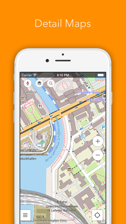
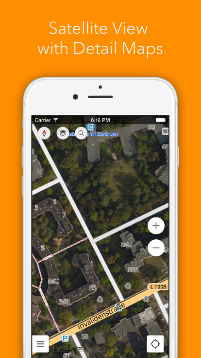
Offline and online maps
The application provides offline (vector) and online (tile) maps based on data from OpenStreetMap project. The maps are very detailed due to the contribution of large amount of users. The monthly updates for the maps will let you always have the latest data on your device.
In addition to the maps well known from Android version a couple of new features are available for you, like 3D and Satellite views.
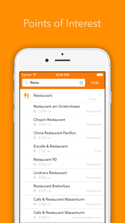
POI and Favorites
POI is a so called “point of interest”. It can be any object on the map, like a restaurant, a parking area, an institution or a cash machine. POIs are split into categories. You can show all POIs from selected categories on the map (like all restaurants together with cash machines) as well as search the objects which are near-by by category as well as by name (like you what to go to a particular restaurant or what to see where is the nearest cash machine is).
On the map you can set a destination point. After you've done it a small red arrow will show you the direction to this point from any place on the map.
If you need to remember a location, like you want to mark the place where you parked your car in the city you don't know or you what to keep the location of a shop then Favorites feature can be very handy. It allowed to keep the point on the map and give it a name, so that it's easy to find it afterwards.
 |
|---|
Bicycles and pedestrians
OsmAnd is known for wide support for bicycle and pedestrian routes. The IOS version will not be an exception. The first version already contains maps with bicycle routes.
GPS tracks are supported in the view mode: it's possible to show them on the map and follow them using the current location indicator.
There is also a separate more detailed map for pedestrians. This map contains routes which you can follow on foot only.
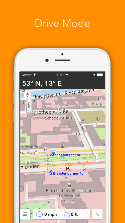
Drive Mode
OsmAnd does not contain navigation yet, but it has some features which will help people driving the car to reach the destination: road surface map, where only information useful for driving is displayed, current speed, 3D Drive mode, which helps with orientation by showing the surrounding in a more natural for the driver way.
 |
|---|
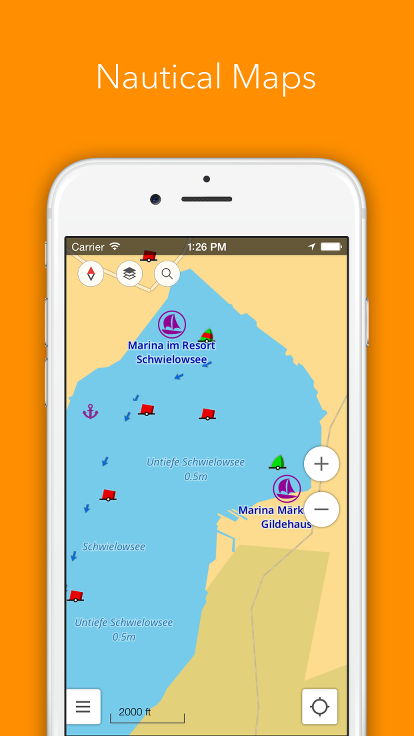
Nautical charts
If you spend some time on a boat and feel that some additional help in orientation will be very appreciated than Nautical charts are for you. They give various information about water routes as well as objects which can be used for orientation in day and night, places for making fast, forbidden and dangerous areas, bridges with their height as well as plenty of various objects on the shore.
Ski maps
If who are fond of skiing and go to a skiing resort from time to time then then we have good news for you: Ski maps became part of the application and will be available in the first IOS version. This map shows the ski pistes with the level of complexity, so it can help you in both cases: while choosing a resort you'll like as well as finding a pist which fits you best when you are already at the place.
Your opinion is important
That's why in this version we built in the possibilities for you to define directions for further development as well as give us your feedback directly into the application.
Of course this is only the start and we have a lot of plans for adding new interesting and useful features. We'll keep you updated.
Join us at our groups of Telegram (OsmAnd News channel), (EN), (IT), (FR), (DE), (UA), (ES), (BR-PT), (PL), (AR), (TR).
