OSM Editing in Croatia

Written by gisplay.pl.
Polish students from Krakow were taking part in the project of updating the maps of the Peljesac peninsula in Croatia due to the cooperation of the Pedagogical University in Krakow and OpenStreetMap Polska Association (OSMP).
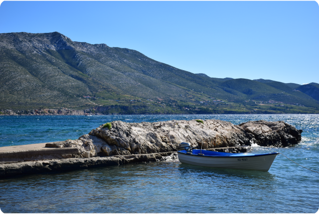 |
Peljesac peninsula in Croatia (photo: Anna Górska)
As part of the Peljesac Cartographic range, Dr. Paweł Struś and Dr. Krzysztof Wiedermann from the Geoinformation Research Laboratory of the University of Life Sciences in Krakow gave a lection about modern methods of obtaining data in the field and their digitization.
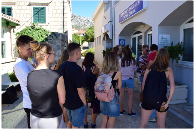 |
Peljesac peninsula in Croatia (photo: Anna Górska)
On behalf of the OpenStreetMap editors community, the event was attended by Włodzimierz Bartczak, OSMP vice-president, and Przemysław Boszczar, OSMP member and one of the most active editors. As part of the course, they familiarized students with the OpenStreetMap data model, data editing tools and data entry principles.
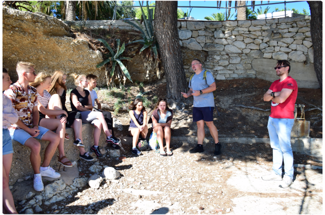 |
_ Włodzimierz Bartczak and Przemysław Boszczar with students (photo: Anna Górska)_
As part of the project, students collected data in the field, data on tourist infrastructure, including hotels, restaurants, and vineyards located in the vicinity. They analyzed the existing orthophoto map and, on its basis, updated data on the development of buildings, routes, and buildings remotely. The main application for collecting data was OsmAnd. OpenStreetMap editing plugin allows to collect data offline with loading it after. Participants of the event gathered over 15,000 new objects, including POIs with its addresses, made around 27,000 changes to the database. All changes are marked with the hashtag #peljesac and you can check them yourself by searching in OpenStreetMap.
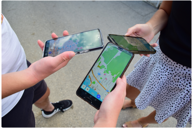 |
Editing the map with OsmAnd (photo: Anna Górska)
These data were used to prepare a detailed tourist map of the peninsula (for the needs of the local community, entrepreneurs, and tourists), and later to prepare thematic maps for testing various methods of spatial analysis and conducting geodiversity research of the Peljesac peninsula, land use control, etc. The data was included in OpenStreetMap resources.
Follow OsmAnd on Facebook, TikTok, X (Twitter), Reddit, and Instagram!
Join us at our groups of Telegram (OsmAnd News channel), (EN), (IT), (FR), (DE), (UA), (ES), (BR-PT), (PL), (AR), (TR).